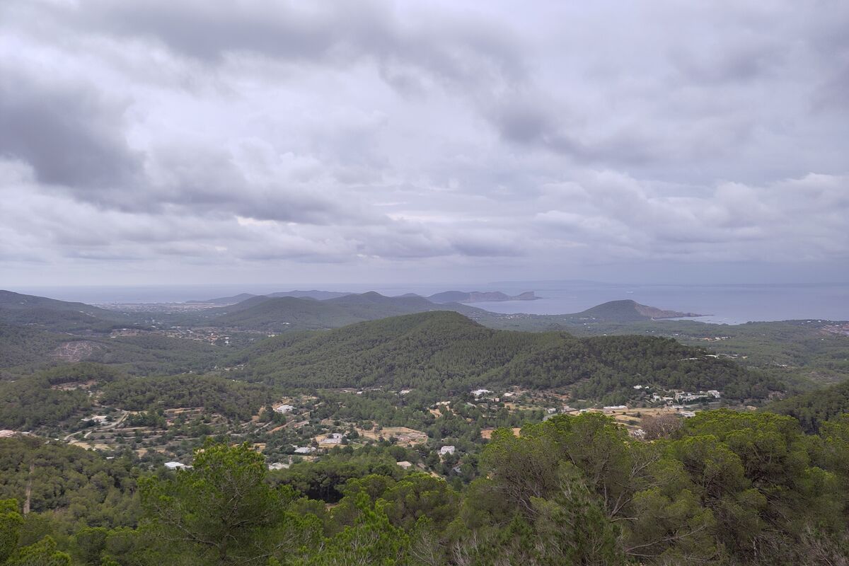
Sa Talaia summit
🥾 Sant Josep — highest point on Ibiza (475 m)
- Distance
- 2–3 h return from Sant Josep village
- Difficulty
- Moderate
Climb to the island’s highest peak for a 360° view: Formentera to the south, the west coast cliffs, the whole island on a clear day.
Tip: Start early or late — there is no shade on the upper track. The summit has a fire-lookout tower and radio masts; the view is all yours.
Torre des Savinar & Es Vedrà viewpoints
🥾 South-west — above Cala d’Hort
- Distance
- 30–60 min, rough track
- Difficulty
- Easy–moderate
The pirate watchtower above the cliffs, facing the Es Vedrà islet — Ibiza’s most famous view, best at sunset.
Tip: Drive the rough track from Cala d’Hort to the small car park, then walk 15–20 minutes. Wear trainers, not flip-flops.
Far des Moscarter lighthouse walk
🥾 North — Portinatx
- Distance
- 1.5–2 h return from Portinatx
- Difficulty
- Easy
A clifftop path through juniper and pine to the island’s tallest lighthouse (52 m), with the north-coast cliffs dropping away below.
Tip: Start from Portinatx beach and follow the cliff path north. Bring water — the far end is exposed.
Ses Salines coastal path
🥾 South — Ses Salines Natural Park
- Distance
- 5–6 km flat loop from the salt flats
- Difficulty
- Easy
Flat paths through the salt pans and dunes to the Torre de ses Portes tower at the island’s southern tip, facing Formentera.
Tip: Protected area — stay on the paths. Stunning in spring and autumn; scorching at midday in summer.
Santa Eulària coastal promenade
🥾 East — Santa Eulària to Es Canar
- Distance
- 4 km each way, flat and paved
- Difficulty
- Easy
The nicest seaside stroll on the island: cliffs, coves, sea views and a finish on the Es Canar promenade with ice cream.
Tip: Also the walk between Santa Eulària and the east-coast campsites if you fancy stretching your legs — bus back if you want.
Sant Mateu valley lanes
🥾 Inland — Sant Mateu d’Albarca
- Distance
- 4–6 km, quiet lanes
- Difficulty
- Easy
Vineyard lanes and whitewashed farmhouses in Ibiza’s quietest valley, with the little church of Sant Mateu at its heart.
Tip: Come in autumn for the wine harvest or any spring morning for wildflowers. Little shade on the lanes — hat and water.